Dario Pisanti
Learning-based Visual Navigation for Planetary Exploration
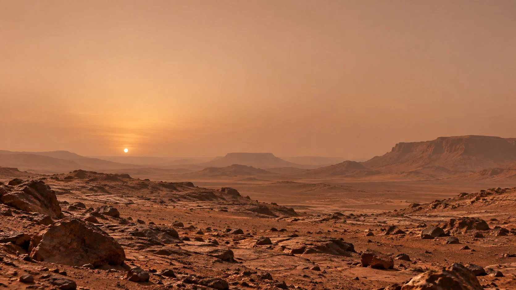
I am a Postdoctoral Researcher in the Space Robotics Group at SnT, University of Luxembourg. My research is at the intersection of computer vision and machine learning for planetary robotics, with a focus on map-relative navigation for aerial and landing platforms. These platforms must operate without GPS, over unknown terrain, under lighting that swings from harsh glare to deep shadow, and with limited onboard computing power. My broader goal is to give them the perception to navigate autonomously in such extreme environments, expanding what planetary robots can explore on their own, opening new frontiers for science, and reducing the risk of failure in critical mission operations.
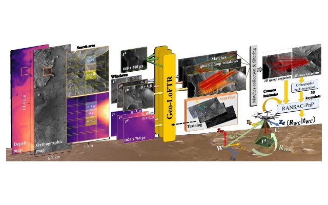
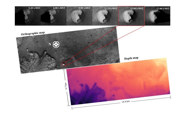
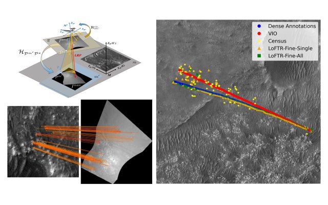
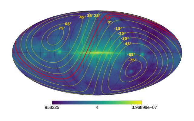
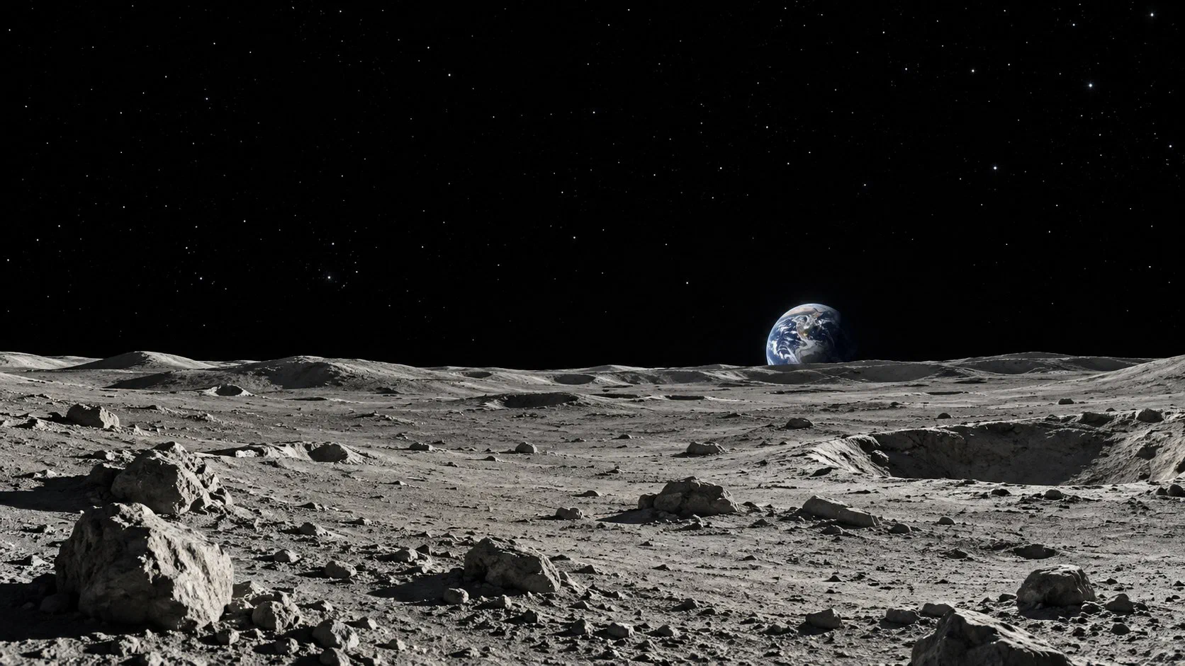
I carried out my doctoral research at NASA Jet Propulsion Laboratory as a Visiting Student Researcher, and received my Ph.D. from the Scuola Superiore Meridionale in Naples, Italy. On the LoRNA project I conceived Geo-LoFTR, a geometry-aided deep image matcher that fuses orbital imagery and elevation data to register onboard images to orbital maps under severe illumination changes. I also built MARTIAN, a framework that renders pose-annotated aerial imagery of Mars from HiRISE orbital data. Earlier, on the Lunar Crater Radio Telescope project, I developed the science forward model for a radio telescope designed to be deployed robotically on the far side of the Moon and to detect the faint 21-cm signal of neutral hydrogen from the Cosmic Dark Ages.
Research interests
- Map-relative localization for Mars rotorcraft
- Terrain relative navigation for autonomous landing
- Image registration in GNSS-denied environments
- Deep learning and deployment on embedded processors
- Hazard detection and 3D terrain reconstruction
Selected publications